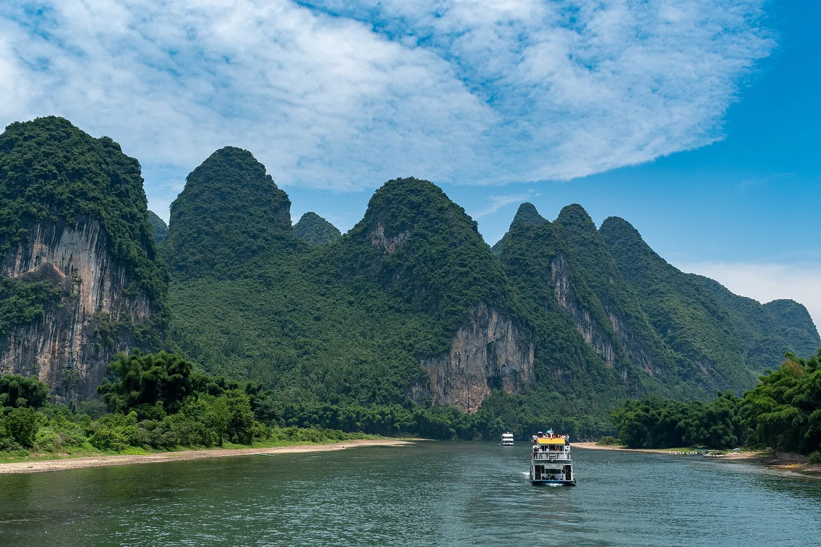
The karst towers around Guilin are the remains of a thick limestone plateau, dissolved by rainwater over millions of years. The process is called karstification, and it produces the peaks, caves, sinkholes, and underground rivers that define the region. Understanding it changes how you see the landscape: the towers are not random, and the caves are part of the same system.
In short
The peaks are limestone remnants shaped by water. The best places to see the process are the caves, the river cliffs, and the karst towers themselves.
Before you book
Prices and schedules change
Reserve the fixed-time items first, then build the rest around the weather. If you are deciding between two versions of the trip, send both.
The rock
The region was once a shallow sea, and the remains of marine organisms accumulated as limestone. Tectonic movement lifted the rock, and rainwater, slightly acidic from carbon dioxide, began to dissolve it. The process is slow but relentless, widening cracks and carving underground drainage systems.
The towers are the resistant cores left behind as the surrounding rock eroded. They are not volcanic plugs or isolated boulders; they are the remnants of a continuous plateau. The karst field note explains how people farm the slopes.
Caves and rivers
The caves are part of the same system. Water dissolves limestone along fractures, creating passages and chambers. Stalactites form where water drips from the ceiling; stalagmites form where it lands. The Reed Flute Cave is the most accessible example, though it is heavily lit and commercial.
The Li River itself follows a course shaped by the rock. The bends and gorges are controlled by faults and the resistance of the limestone. The river carries sediment that can turn it brown in the rainy season. The water level guide explains the seasonal changes.
Why the peaks look the way they do
The classic Guilin towers are tall, steep, and isolated. They form where the limestone is pure and the fractures are widely spaced. In other areas, the karst is lower and more rounded, or broken into a maze of ridges. The differences reflect the rock's purity, the climate, and the time available for erosion.
The best place to see the range of forms is the river between Guilin and Yangshuo, especially around Xingping. The cruise guide and the Xianggong Hill guide cover the viewpoints.
Where to see the evidence
The caves show the underground process; the river cliffs show the erosion; the peaks show the surface remnants. A visit to Reed Flute Cave, a river cruise, and a viewpoint like Xianggong Hill covers all three.
If you want a deeper explanation, local museums have exhibits on karst and the region's geography. The rainy day plan includes museum options.
Verdict
The landscape is a dissolving plateau, not a range of separate hills. Caves and peaks are the same story.
Next in the manual
04 linksField desk / direct line
Not sure this fits your trip?
Send the dates, the group, and what you are deciding between. The field desk will tell you what to cut and what to keep.
Independent advice. No bookings, no commissions, no visa service.